Sir Lowry’s Pass River upgrade hits halfway mark
24 June 2025
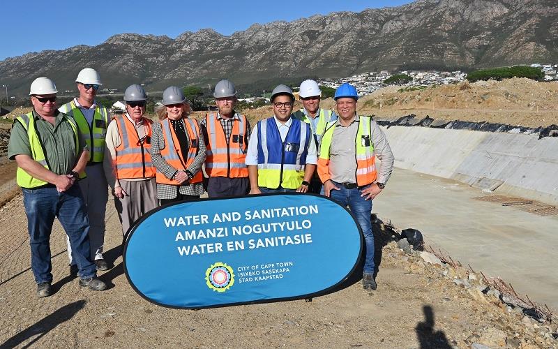
The multi-million rand upgrade of the Sir Lowry’s Pass River, which is currently under way in Gordon’s Bay and Strand, is making steady progress and remains on track for completion in March 2027. On 9 June 2025, Mayoral Committee Member for Water and Sanitation, Councillor Zahid Badroodien, and members of the City’s Water and Sanitation Portfolio Committee conducted a site visit to assess progress.
This major capital upgrade, which began in February 2023, is now approaching the 50% completion milestone. It is designed to:
Mitigate flood risk in Gordon’s Bay and surrounding areas;
Increase the river’s conveyance capacity through the reshaping of the river channel and installation of hydraulic control structures;
Enhance the City’s climate change resilience and adaptation efforts;
Enable future downstream developments such as the Vlakteplaas Stormwater and Environmental Upgrade, to be implemented by the City’s Human Settlements Directorate.
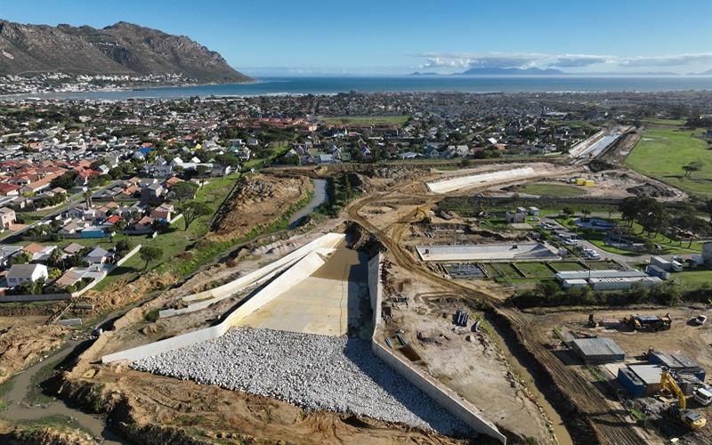
To date, approximately R214 million (including CPA) has been invested in the project.
‘Reaching the halfway mark on schedule for such a complex, multi-year project speaks volumes about the City’s commitment to delivering quality infrastructure. I commend the teams for the excellent progress made thus far.
‘This upgrade is a crucial enabler for future development. It not only safeguards our communities from flooding but also unlocks land for future housing projects, helping us meet the demand for well-located, serviced opportunities,’ said Mayoral Committee Member for Water and Sanitation, Councillor Zahid Badroodien.
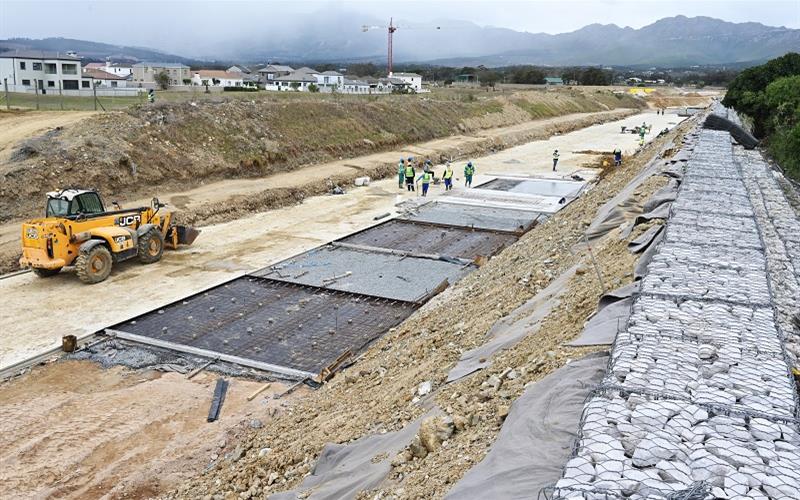
Key project components
1. Construction of berms: Stabilising riverbanks and directing water flow.
2. Terrain flattening: Levelling the landscape to improve river alignment and capacity.
3. River realignment: Reconfiguring the river’s flow path between the N2 highway and the ocean, including the construction of four drop weirs to manage water flow and levels.
4. Riprap installation: Strategic placement of rock armouring to prevent erosion along the riverbanks and around hydraulic structures.
5. Infrastructure enhancements: Includes building new bridges, erosion control measures, non-motorised transport (NMT) pathways for pedestrians and cyclists, relocating services, landscaping and demolishing obstructive structures.
Flood line comparison
The upgrade is set to dramatically improve the river’s flood resilience.
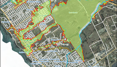
Prior to the proposed upgrade (illustrated below)
• High flood-risk to surrounding communities, particularly from the 1:5 year event upward.
• Flood lines for 1:2, 1:5, 1:10, 1:20, 1:50 and 1:100-year events overlap critical infrastructure.
• Historical flooding events have damaged homes and disrupted livelihoods.
Aerial view of Cape Town
© City of Cape Town
Flood line comparison
The upgrade is set to dramatically improve the river’s flood resilience.Prior to the proposed upgrade (illustrated below)
• High flood-risk to surrounding communities, particularly from the 1:5 year event upward.
• Flood lines for 1:2, 1:5, 1:10, 1:20, 1:50 and 1:100-year events overlap critical infrastructure.
• Historical flooding events have damaged homes and disrupted livelihoods.
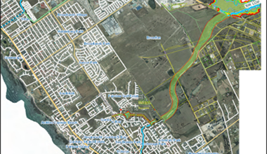
Aerial view of Cape Town
© City of Cape Town
After the upgrade (illustrated below)
Flood lines will recede significantly due to enhanced channel capacity and flow regulation.
The 1:100-year flood line will be contained within engineered berms and upgraded channels.
Overall flood risk will be reduced across all return periods.
Published by:
City of Cape Town, Media Office